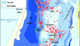
The map shows the spatial zones of groundwater productivity of the three shared groundwater basins; the Eastern Basin: The Northeastern Basin, and the Western Basin. The zones were developed by NSU...
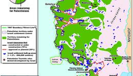
This map illustrates the Israeli Colonial Farm Installations (outposts) in the West Bank: A total of 793,909 dunums, approximately 14% of the West Bank’s land area, are effectively controlled by 156...